
Blog
Ottoman architecture
Sinan's biggest project is not a mosque
Sinan is known for his domes. Yet between 1554 and 1563 the chief architect of the Ottoman Empire ran a project that cost more than the Süleymaniye and the mosque of Selim put together, and of which a walker today sees only a few bridges lost in a forest north of Istanbul.
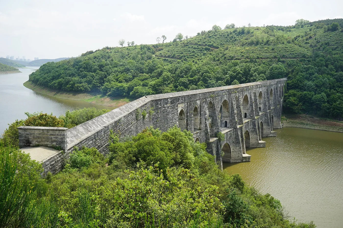
A capital short of water
By the middle of the sixteenth century, Constantinople had changed scale. The city Mehmed II took in 1453 held a few tens of thousands of people; Suleiman's city held several hundred thousand. Byzantine cisterns, wells and old Roman conduits were no longer enough, and the question was not only drinking water. An Ottoman city runs on running water: neighbourhood fountains, baths, the kitchens of pious foundations, the ablution halls of mosques. Without a network there is no new district.
The difficulty was geography. The historic peninsula is surrounded by salt water, and the usable springs lie far to the north-west, in the wooded massif now called the Belgrade Forest. Twenty-five kilometres as the crow flies, which is not twenty-five kilometres of conduit: between the springs and the walls the ground rises and falls several times.
Two branches, then a single line
Sinan's answer fits in one sentence and took nine years. He gathered the springs into two branches, one east and one west, each coming down its own side and meeting south of the village of Kemerburgaz. From there a single line continues towards the city.
The water does not run in the open. It travels in a covered gallery, fifty-five centimetres wide and one metre seventy-five high, a section sized so that a man can enter, stand bent and clear the floor. The total length of these galleries approaches fifty-five kilometres. Almost the whole work is therefore invisible: it passes under fields and under ridges, and nothing on the surface marks it.
Thirty-three bridges
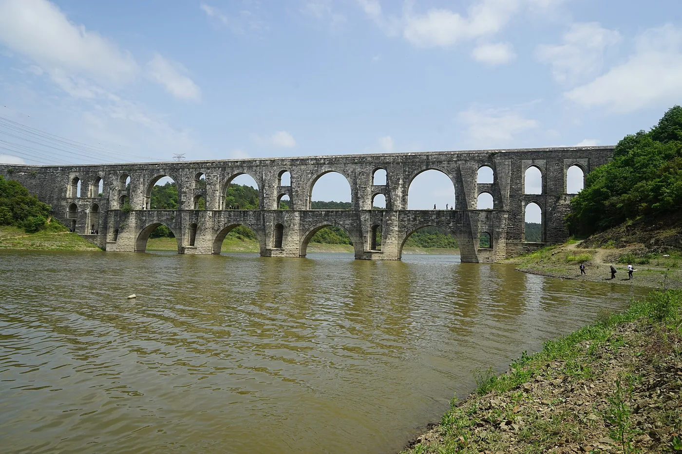
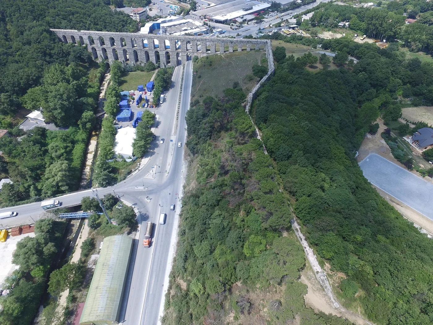
A gallery cannot go down and then climb again. Where the ground falls away, the conduit has to be carried in the air, at the right level, to the far slope. That is what the aqueduct bridges do, and the network has thirty-three of them.
The largest crosses the Alibey stream. It is called Mağlova, measures two hundred and fifty-eight metres long and thirty-six metres high, and stacks two tiers of arches. Its outline has become the emblem of the network, which carries an irony: these bridges are the most spectacular part of the work, and the smallest. They account for a few hundred metres out of fifty-five kilometres.
Others carry names still found on maps: the Uzunkemer, the long bridge; the Kovuk Kemer, the hollow bridge; the Eğri Kemer, the curved bridge, named after a line that does not run straight.
What the line serves
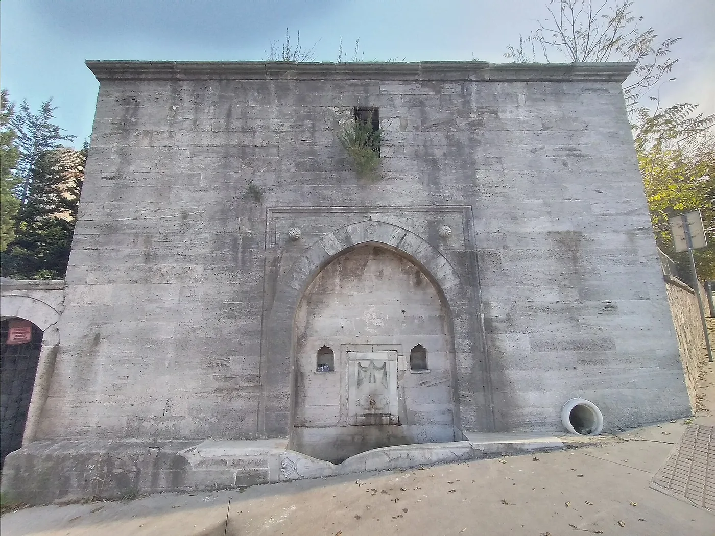
The name given to the network states its purpose: Kırkçeşme, the forty fountains. The figure is a manner of speaking, and it falls short. At its peak this water fed more than three hundred fountains across the city, at an estimated flow of twelve to seventeen thousand cubic metres a day depending on the season.
An Ottoman neighbourhood fountain is not an ornament. It is a public water point, often set against a wall, fed continuously, and attached to a pious foundation that pays for its upkeep. Sinan's network is therefore as much a piece of town planning as a work of engineering: it makes liveable districts that were not.
The flood of 1563
The story does not end when the water arrives. In 1563 exceptional rains swelled the rivers of the region. The flood carried away the Mağlova bridge and the Kurt Kemer, and seriously damaged several other structures, among them the Uzunkemer and the Eğri Kemer.
Sinan raised what had fallen and repaired the rest. The network was working again the following year. The detail says something about the man: by then he was about seventy-five, in the middle of building several imperial mosques, and he went back to a hydraulic site to rebuild a bridge the water had broken.
Why it is not counted among his works
The lists of Sinan's works, the ones his biographers drew up in his lifetime, do mention the bridges and the conduits. Posterity kept the mosques. The reason is simple and has nothing to do with the worth of the work: a dome can be photographed, a buried gallery cannot.
Still, in cost and in scale this was the largest undertaking Sinan ever ran. It required surveying levels over twenty-five kilometres, holding a constant and gentle fall along the whole length, crossing valleys without losing that fall, and making the whole thing survive in a region prone to earthquakes and floods. The bridges are still standing.
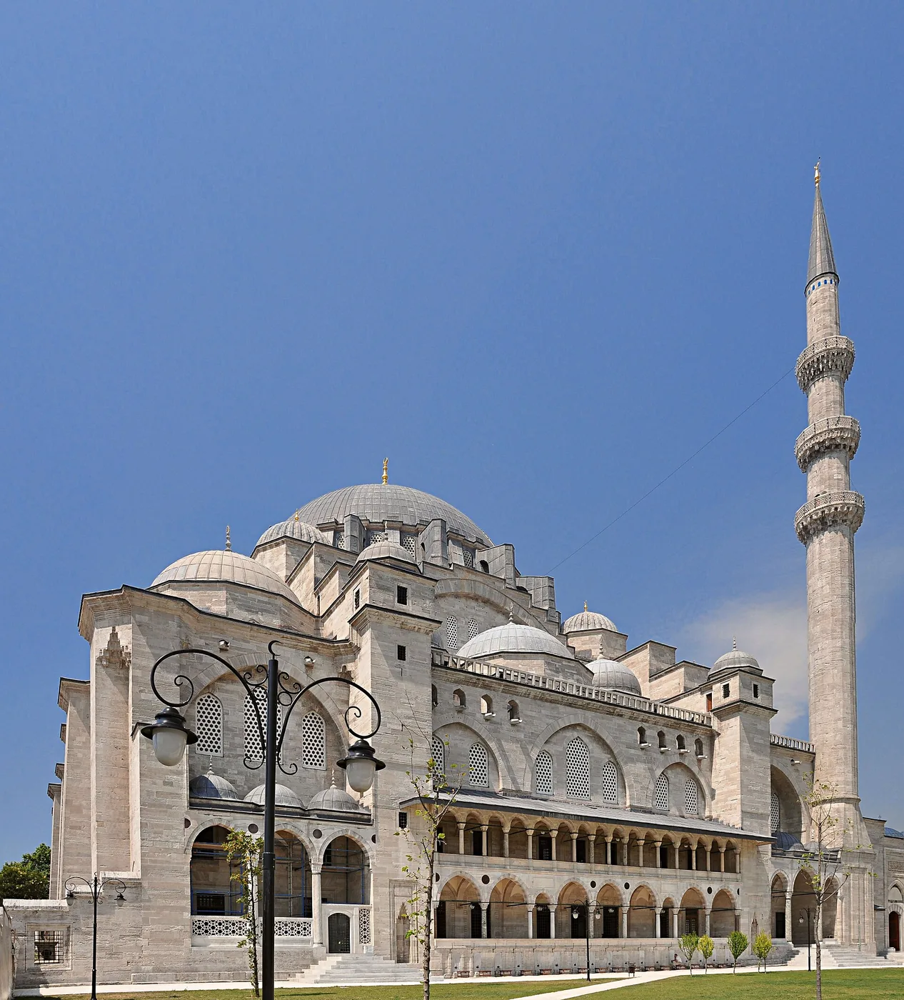
Discover
Mosques mentioned in this article
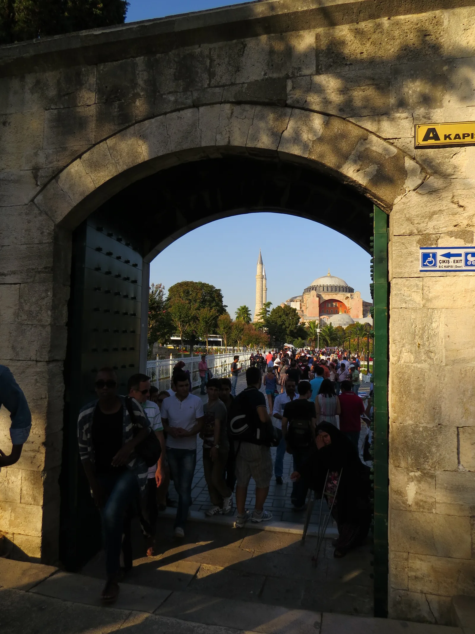
Blue Mosque (Sultan Ahmed)
Six minarets, a cascade of domes and over 20,000 Iznik tiles: the icon of Istanbul.
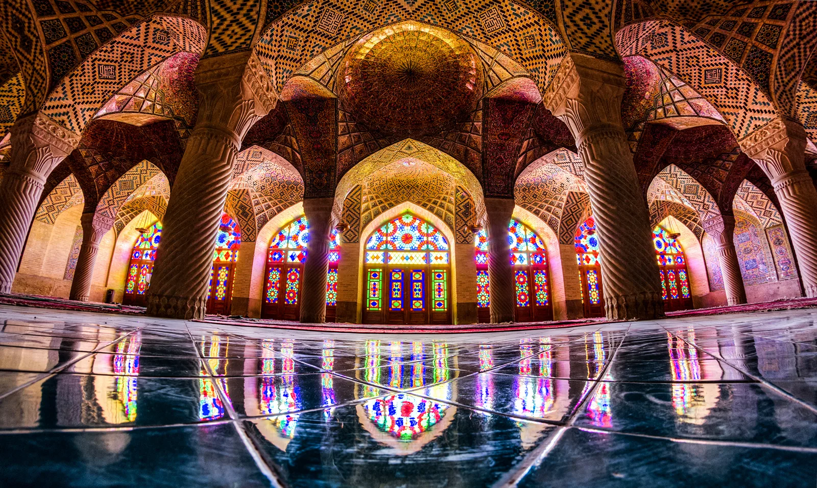
Nasir al-Mulk Mosque
Shiraz's "Pink Mosque", whose stained-glass windows turn every morning prayer into a kaleidoscope.
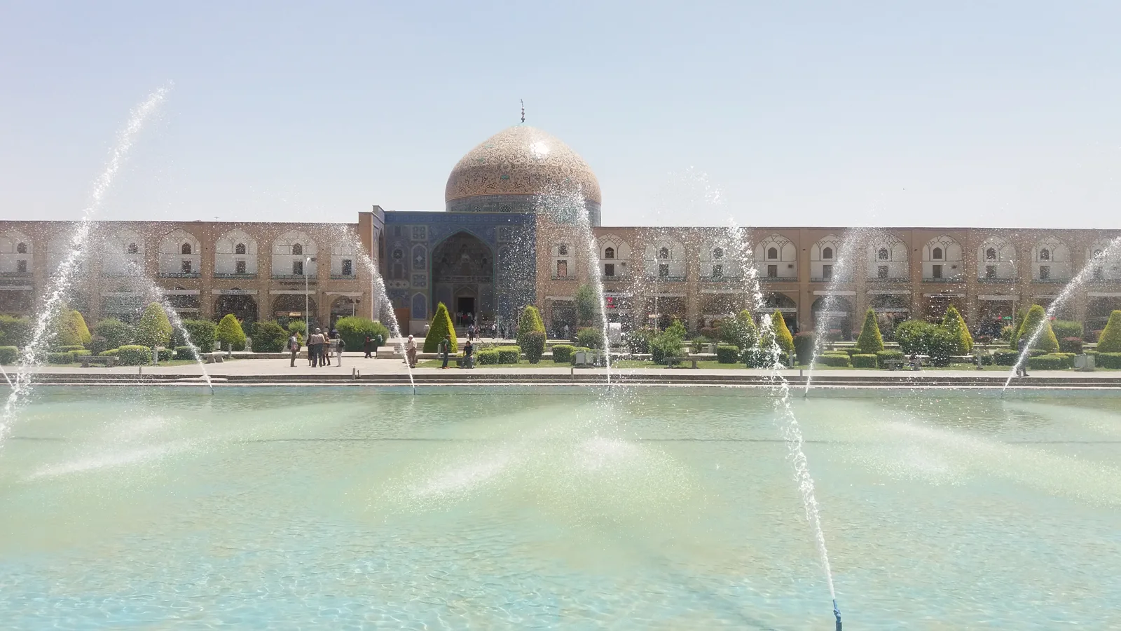
Sheikh Lotfollah Mosque
The Safavid jewel of Naqsh-e Jahan Square: no minaret, no courtyard, but Iran's most beautiful dome.
About this page's content: this site offers editorial and cultural content written with care and respect for the religious traditions concerned; it does not constitute a theological opinion or a source of religious authority. Despite our checks, errors, inaccuracies or approximations may remain. If you spot one, please let us know via the Contact page or by email at qibla.mosk@gmail.com, and we will correct it gratefully.