
Home › Qibla › The Isfahan map
Qibla, episode 8 · Isfahan, Iran · 9 min read
This map was thought to be a European invention of 1909
Three brass discs, made in Isfahan around 1675. Mecca at the centre, a grid of curves around it, and cities marked on that grid from al-Andalus to China. Set the movable rule on your city and you read two things at once: the direction of Mecca, and the distance to it. The first resurfaced in 1989, and a chapter in the history of cartography had to be rewritten.
What the object does
It fits in two hands. A brass disc about twenty-two and a half centimetres across, engraved over its whole surface, with a movable rule hinged at its centre.
At the exact centre of the disc: Mecca. Around it, a network of curved lines that is not decoration at all. It is a coordinate grid. And on that grid, dozens of cities are plotted, each in its place.
Using it is immediate. You swing the rule until it passes over your city. The graduation then gives you two things in a single gesture: the direction of Mecca, and the distance to it. No calculation, no table, no observation instrument.
The coverage runs from al-Andalus to China. Which is to say, for the period, the whole of the known Muslim world.
A point of honesty, stated up front
There is no freely licensed photograph of the three Safavid discs. They are in private hands or have passed through sale rooms, and their images are under copyright.
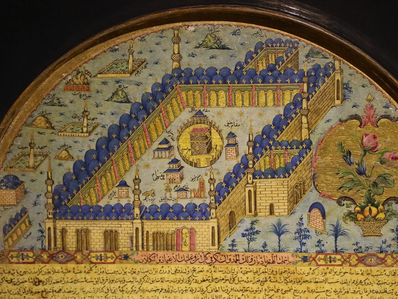
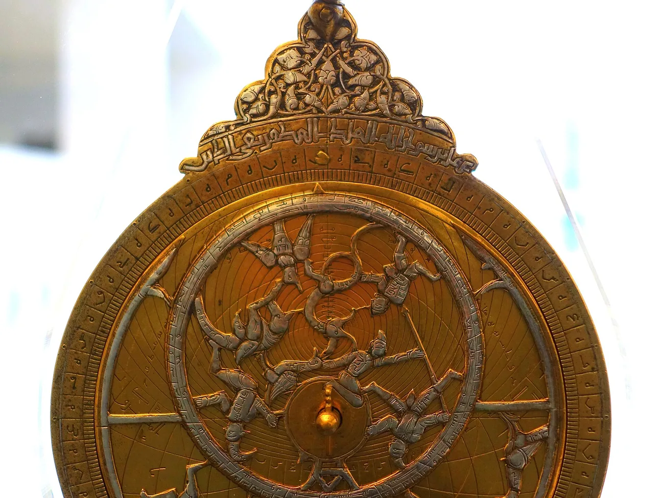
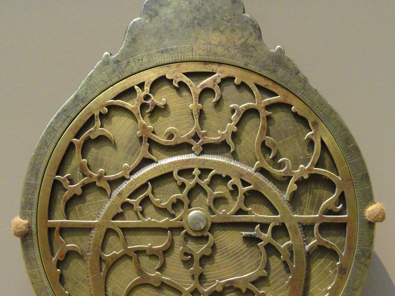
Every image in this article, like every shot in the accompanying video, therefore shows other objects: an Ottoman qiblanuma, a qibla instrument of the same family, and Persian astrolabes. Each is captioned for what it is. The disc itself appears nowhere except as a diagram, and that diagram is marked "schematic reconstruction of the principle".
We would rather say this once and clearly than let an image do work it is not doing.
How they resurfaced
For a long time nobody knew these objects existed. They appear in no catalogue, in no history of scientific instruments.
The first was identified in 1989, the second in 1995. A third has appeared since. They were studied and published by David A. King, emeritus professor of the history of science at the Goethe University of Frankfurt, in the peer-reviewed journal Imago Mundi.
Why it matters
Here is the point that changes everything, and it takes one sentence.
Before these discoveries, this kind of cartographic grid was held to be a European invention. The reference was the retro-azimuthal projection of James Ireland Craig, a British cartographer working for the Survey of Egypt, published in 1909.
And the striking part is that Craig designed his projection for exactly the same purpose: to let anyone read off the direction of Mecca from any point.
The Isfahan discs do the same thing. They are more than two centuries ahead of him.
The question that stayed open
Finding an object is not the same as having a history. The real question remained: did the craftsmen of Isfahan invent this grid, or did they inherit it?
The distinction is not academic. A grid of this kind cannot be drawn by eye. It presupposes a mathematical theory, and a precise one: you have to know how to trace the curves along which the direction of Mecca stays constant, which belongs to the study of conic sections.
And that level of mathematics does not match the world of seventeenth-century instrument workshops. Something was missing.
The answer, and why it holds
It came from a different scholar, by a different route, and that is precisely what makes it hold.
Jan P. Hogendijk, historian of mathematics at Utrecht University, found the necessary mathematics in treatises on conic sections: one from tenth-century Baghdad, the other from eleventh-century Isfahan. He published the result in 2002.
In other words: the Safavid craftsmen did not invent this grid. They executed it. The theory it applies was already seven centuries old when the disc was engraved.
And this is where the case becomes robust. We have two independent lines of evidence: objects, studied by one scholar, and texts, found by another. Each can be checked without the other. On a subject where we regularly decline to treat facts resting on a single source, this one clears the bar comfortably.
Seven centuries between the theory and the object
That gap deserves a pause, because it is not self-evident.
We tend to picture the history of science as a continuous line: a discovery, an application, a step forward. The reality is slower and more broken. Here the mathematics exists in the tenth century, in treatises of geometry that say nothing about instruments. It waits. It circulates. It is copied, commented on, taught.
And seven hundred years later, in a workshop in Isfahan, someone uses it to engrave brass.
This is not an anomaly. It is the normal way knowledge travels before it has found its useful form.
What this episode does not claim
We are not saying Craig's projection was plagiarism. Nothing suggests he knew of these objects, and there is no reason to think he did: they were unknown to everyone until 1989.
Nor are we saying the discs are "the first world map centred on Mecca". Other Kaaba-centred representations have existed for a long time, but they are symbolic: they divide the world into sectors around the sanctuary without letting you read an angle. What is new here is the measurable grid.
Finally, we do not claim to know in which workshop or by whose hand these discs were engraved. The attribution to Isfahan and the dating to around 1675 are those of the published scholarship.
Our sources, in the open
We give the full references, with links, so that anyone can check them without going through us.
- David A. King, "Two Iranian world maps for finding the direction and distance to Mecca", Imago Mundi 49, 1997, pp. 62-82. Peer-reviewed. His work is collected on his page: uni-frankfurt.academia.edu/DavidAKing.
- David A. King, "Qibla Charts, Qibla Maps, and Related Instruments", chapter 9 of The History of Cartography, vol. 2 book 1, University of Chicago Press. The chapter is open access: press.uchicago.edu.
- Jan P. Hogendijk, "Het mysterie van de Mekkawijzers van Isfahan", Nieuwe Wiskrant 22:2, 2002, pp. 4-11. Open access at Utrecht University: fisme.science.uu.nl. His publications: jphogendijk.nl.
Read on
Episode 1 of this series sets out the founding question, and the episode on Ibn al-Haytham tells of another solution to the same problem, found six centuries earlier. For a case where the geometry passed into the building itself, see the Great Mosque of Xi'an.