
Home › Masjid al-Haram › The valley that floods
Masjid al-Haram, chapter 3 · Mecca · 9 min read
The Kaaba you see was rebuilt after a flood
The building at the centre of the Sacred Mosque, the one millions come to see, was raised again after a flood. To understand how, you have to look at where it stands: Mecca is built in a valley, and the sanctuary sits at its lowest point. That is not a detail of terrain, it is a permanent constraint.
A basin
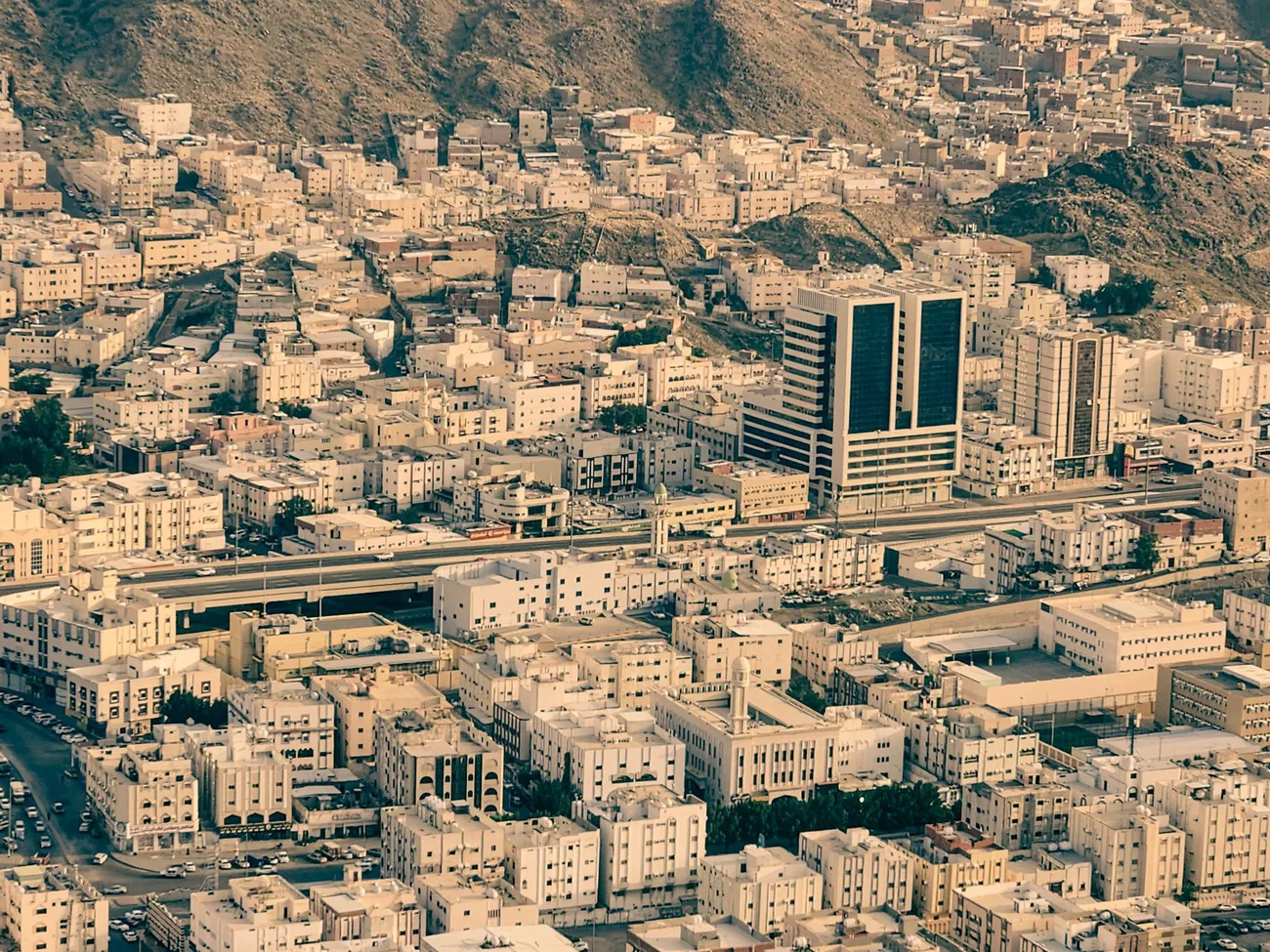
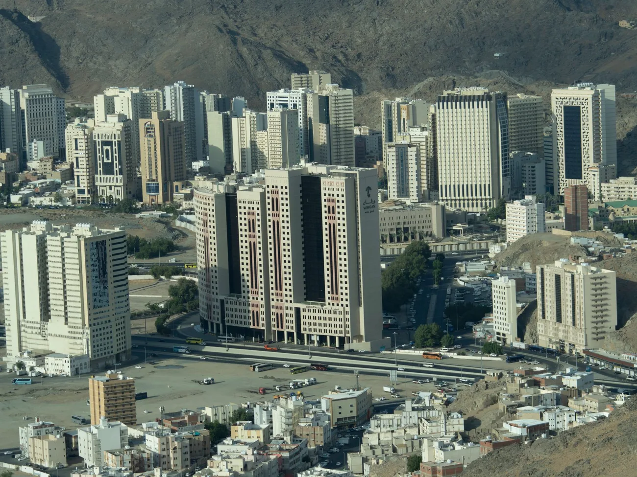
Look at an aerial view of Mecca and you see the city first. Look two seconds longer and you see the rest: high ground on every side, and the built fabric packed in between.
The sanctuary does not sit on a height, as so many places of worship do. It sits at the bottom.
That answers a question nobody thinks to ask, and raises another. The answer is that a valley sanctuary is reachable from everywhere and defends nothing: it is not a citadel. The question that follows is water. In terrain like this, when rain falls on the heights it does not disperse. It converges. And it converges on the lowest point.
Why a valley, though
The question is worth asking, because the siting is not obvious.
An arid valley between heights has neither farmland nor a permanent watercourse. What it has is a spring, and a position on the routes running up the peninsula. The city formed there for those two reasons, and the sanctuary sits in the middle of the city.
The spring is Zamzam, and it will have its own chapter: the surround was removed to clear the circuit, which is a decision of exactly the same family as the ones this series follows.
In other words, the low point was not chosen in spite of its drawbacks: it was chosen because that is where the water was. The same topography that makes the place habitable is the one that funnels the floods into it. It is the kind of contradiction there is no way out of, and it is why this chapter exists.
April 1630
The exact date is 19 Sha'ban 1039 in the hijri calendar, which is April 1630.
The conversion is worth a pause, because it explains an error you will read everywhere. The year 1039 runs from August 1629 to August 1630. Many sources convert a hijri year to its starting Gregorian year and so write 1629. That is wrong half the time, and here it is wrong.
That day, heavy rain fell on the heights. The flood entered the sanctuary. It carried off whatever was not fixed to the ground: the carpets, the lamps, the book chests.
And it brought down walls of the Kaaba. The eastern side, the western side, the northern side, along with part of the covering. Lives were lost.
What a sultan does when the Kaaba falls
The news reached Constantinople. Sultan Murad IV ordered the rebuilding and sent for engineers from Egypt, the nearest province with the necessary expertise. Work opened the following year, in 1040 of the hijri calendar.
What followed went well beyond repair. After the collapse, the walls left standing were judged unstable: scholars and authorities decided to take those down too, and raise the whole thing again. The work did not restore what had fallen, it remade the building. And the occasion was taken to rework the whole: a stone gallery was added all around the sanctuary, and the number of minarets was raised to seven.
This is the pattern that runs through the whole series. A constraint asserts itself, abruptly, and the response never merely restores what was there. It takes the opportunity to enlarge.
What that means today
Here is the fact that sets this chapter apart.
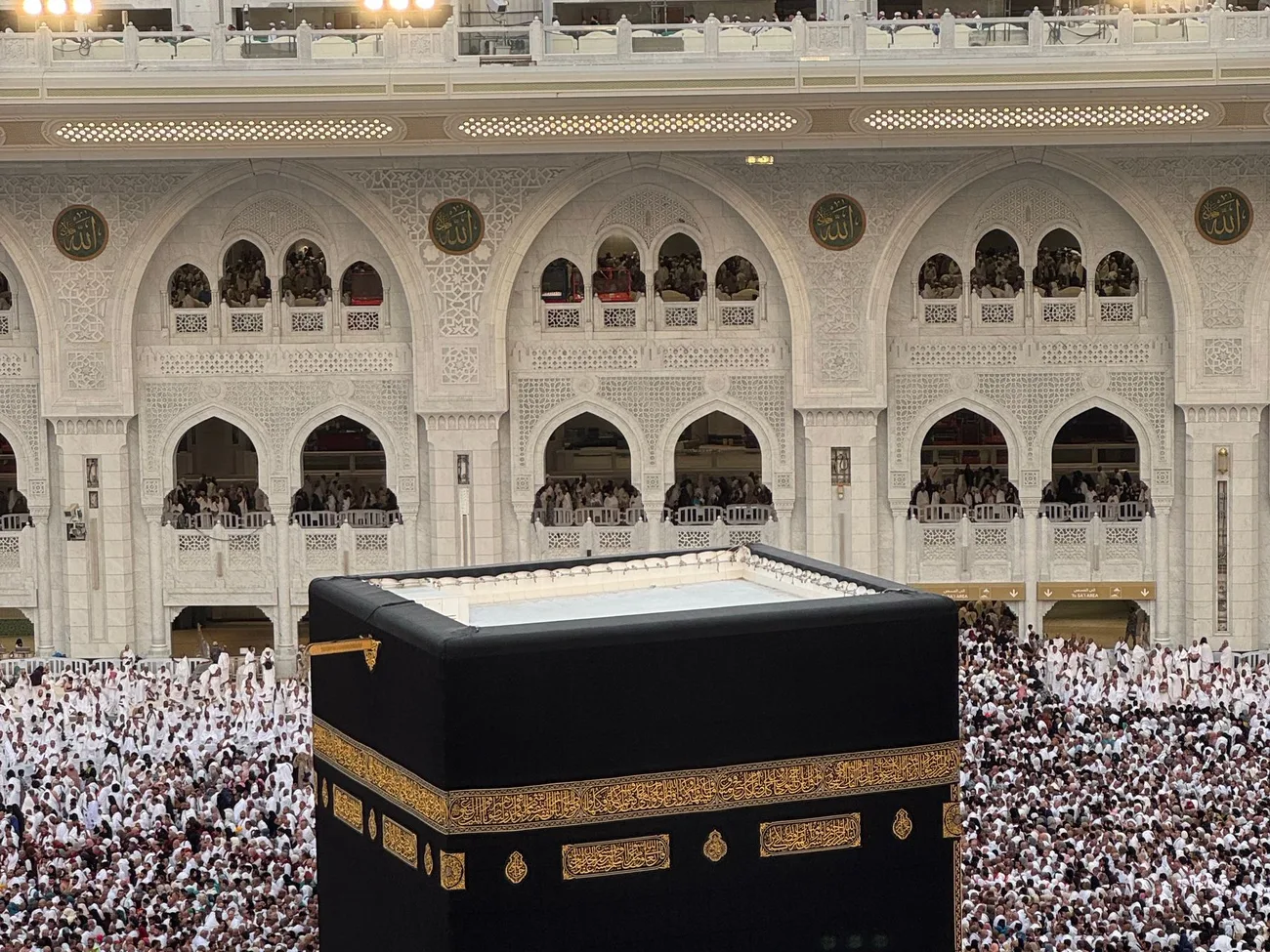
The building at the centre today, the one millions come to see each year, the one reproduced in millions of images, is in essence the building of 1631.
In other words: the most looked-at building in the Muslim world was raised again after a flood.
Precision matters here, because the claim distorts easily in both directions. We do not write that it is untouched since 1630: it has undergone later restorations, notably in the Saudi period, and its structure has been reinforced. Nor do we write that it was rebuilt: it was not. The accurate formulation is the one in the video: it has been restored since, it has not been remade.
A note on the images
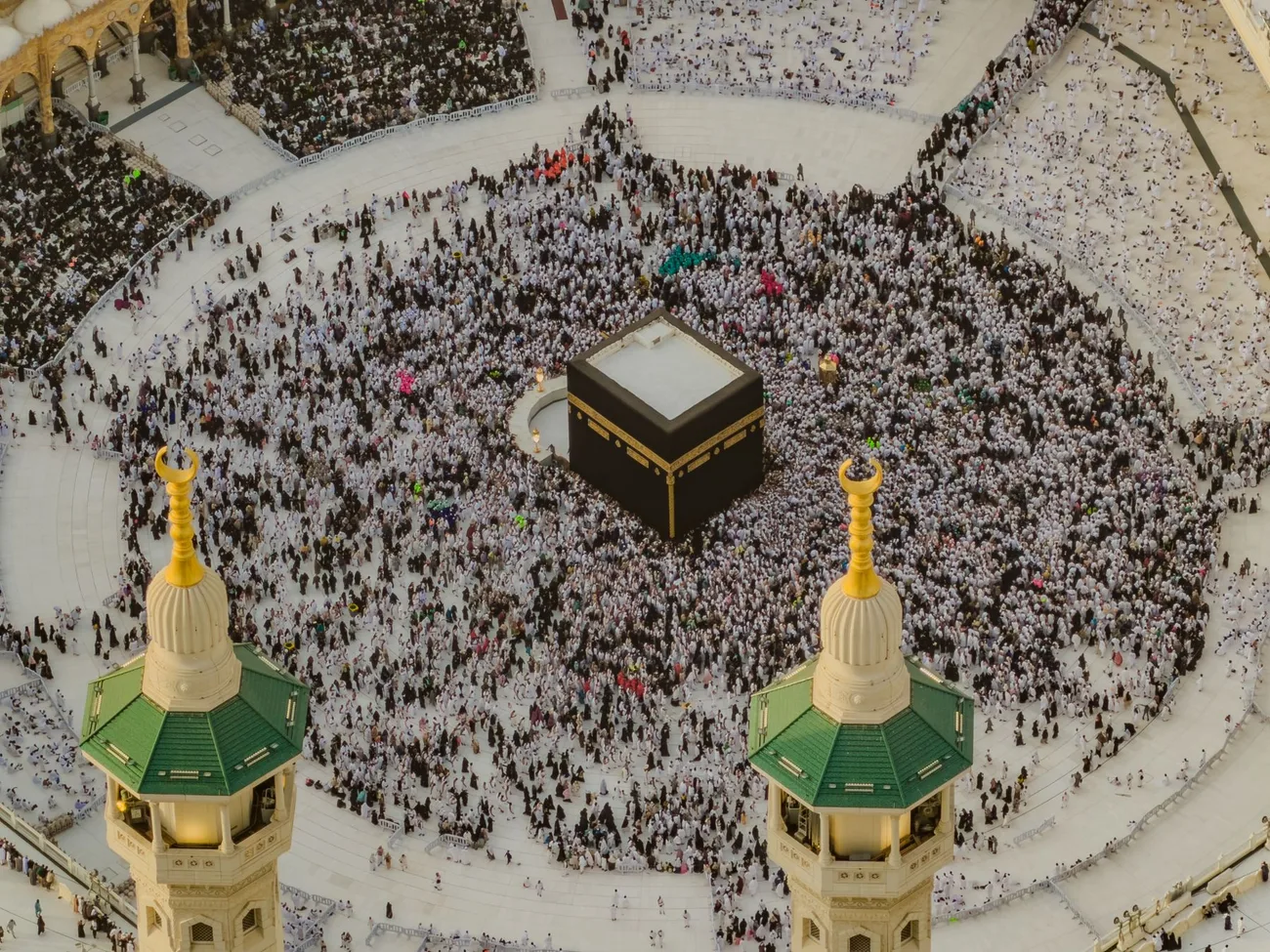
No photograph of the 1630 flood exists, for the obvious reason that photography did not. No image in this article or in the video claims to show one.
The mechanism is therefore carried by a diagram, marked as such on screen: a valley section, the sanctuary at the low point, the rain, and the water gathering in the basin. It is not a topographic survey: no altitude is shown, no gradient is given. It exists to show what an aerial view cannot, namely that the sanctuary occupies the bottom.
And since?
The valley has not changed shape, and the floods have not stopped. The twentieth century saw several, some strong enough for water to reach the level of the circuit around the Kaaba.
The difference is that the problem is now handled upstream, by drainage and catchment works on the heights, rather than endured at the bottom. That is not an engineering footnote: it is the same logic that runs through this whole series. The centre cannot move. So everything else must adapt around it.
And for nearly four centuries, it has held.
Earlier chapters
Chapter 1 tells how there was no mosque to begin with, and how houses had to be bought and a neighbourhood demolished to make one. Chapter 2 tells of the fire of 1399, put out by a flood, and of the columns that came through it, today the oldest elements still standing.
The next chapter will deal with the stone stolen for more than twenty years, and with the silver mount that is a repair.
Our sources
- On the flood and the rebuilding, Ottoman historical literature and the scholarly work on Murad IV's project, notably the study The Rebuilding of the Kaʻba During the Period of Sulṭān Murād IV, open access: academia.edu.
- Photographs: Pexels, free licence.